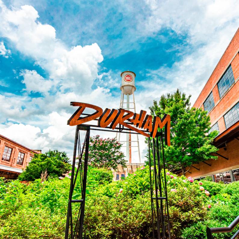
Welcome to Durham, NC
Ever-changing. Never changing.
Durham is a historical haven, a sanctuary for the spectacular, and a rough-cut gem waiting to be unearthed. Durham’s been a destination on the move for more than 150 years. Perhaps it’s time you discovered it too.
Maybe you’ve heard about our celebrated food scene, top-notch universities or buzzing startup culture. There’s just something about this place. It transcends categories. Durham has something intangible, inspiring and absolutely alluring.
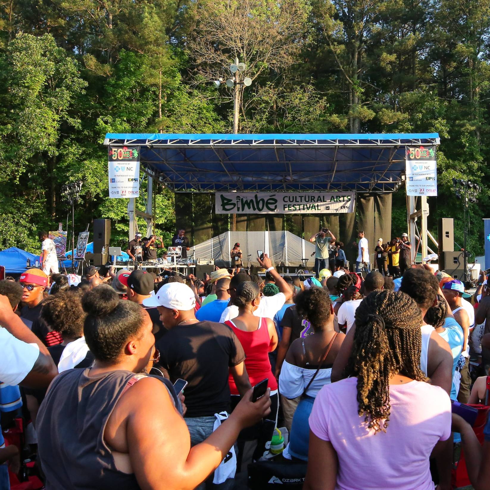
Before our sidewalks were lined with award-winning eateries, they were traversed by our first generation of industrious entrepreneurs. Seeds of equality and justice were planted here long ago, and they have blossomed into a colorful community where murals tell our proud story of inclusivity. We are where inspiration is found, where all are welcome and where the wild, wonderful, bold and beautiful come together in unexpected ways.
Want in? Come discover Durham.
the durham way

Do It Where Local Thrives
When you experience local, the food tastes bolder, the art is more inspiring, the shops are more lovingly curated, the drinks are more inventive, the entertainment is more moving, the people are more passionate. See how Durham’s small business pride makes it an unforgettable place to visit.
Plan your visit
The Ultimate Guide to Spring in Durham
As the days lengthen and the weather warms up, the whole city bursts into bloom. Whether you’re visiting for the weekend or planning a spring break, here’s a roundup of cant-miss activities to do this spring.
Learn MoreThe New York Times made an itinerary for a weekend in Durham. Preview all the spots –
Durham Visitor Guide
We are barbecue and biscuits, locally sourced small plates and craft cocktails. We’re a gritty tobacco-grown town that’s evolved into the City of Medicine. We’re activists, scholars, artists, and entrepreneurs. We’re always moving, creating, and blazing a new trail — you’ll feel that energy when you get here.
With our Visitor Guide, we invite you to dive in.
Support Durham's Black-Owned Businesses
The Durham community supports Black-owned businesses. Period. Here is a robust list of over 200 brick-and-mortar spots, entrepreneurial endeavors, and the next generation of Black business owners based in our community.
Learn Morerecent stories